Click here for more information on trails in all Arkansas State Parks
Cossatot River SP Click here for Park Information
Lake Catherine SP
GPS Map of Lake Catherine Trails
GPS Profile of Lake Catherine Trails
Click here for a map of the Dam Mountain Trail.
The route taken on the GPS map and profile started at the parking lot at the end of the road in the campground. The hike proceeded clockwise around the outermost loops beginning with the Dam Mountain Trail, then the Falls Branch and ending with Horseshoe Mountain trail. At about 2/3 way through, the route passed very close to trailhead, which provided an option to bail out. Highlights included a suspension bridge, a great waterfall and numerous views of Lake Catherine. The trails offer some steep climbs and numerous rock steps which could prove to be hazardous.
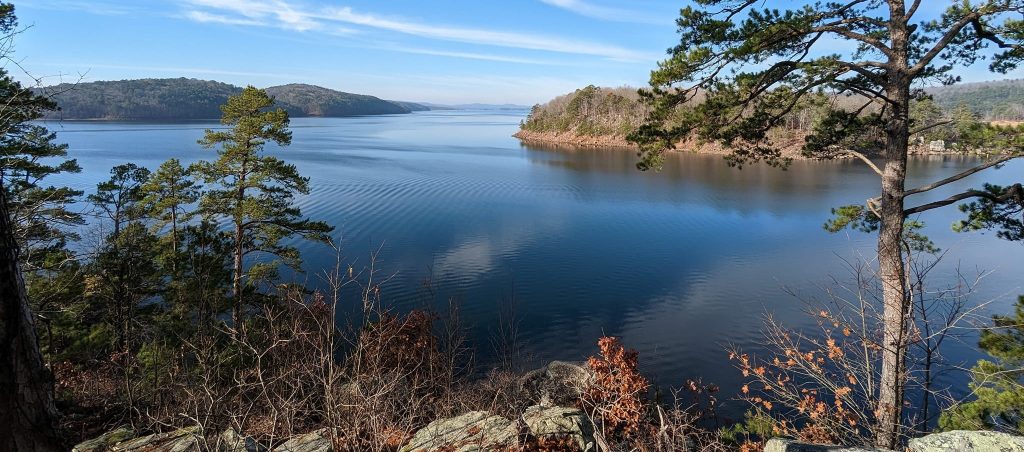
Lake Ouachita SP
Caddo Bend Trail Map Lake Ouachita SP
Mt Magazine State Park
Cove Lake Trail Map Mount Magazine – Cove Lake Trail
Mt Nebo SP
Petit Jean SP
Boy Scout Trail Map Boy Scout Trail
Cedar Creek Trail Map Cedar Creek Trail
Cedar Falls Trail Map Cedar Falls Trail
Seven Hollows Map Seven Hollows Trail
Pinnacle Mountain SP
Pinnacle Mountain Trails Map Pinnacle Mountain Trails